Thongs and Queenslanders in the Aussie snow 2018 – DAY FOUR
Below you will find a detailed description of the route as seen through the eyes of its creator to give you firsthand knowledge of the type of experiences available along this route
The Below map is for reference guide only with interactive info on locations along the route.
A fully interactive and directional guide map is available with the Road Trips printable detailed itinerary for $5 using the below button(coming soon)
Termeil Point Campground to Snowy River roadside rest area (428km 5.09hrs)
So many cute towns like Mogo. Coloured fury bumps of Alpacas seem pretty common here, as are the lakes, wetlands and quiet fishing harbours.
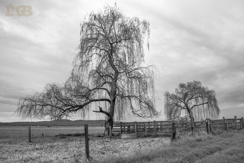
As we make our way down the hillside, we find the beautiful little historical town of Cobargo. The cold fingers of frost have bleached the colour from the grasslands but scattered around the hillside the leafless trees create a structural beauty of their own.
1. MCKENZIE RIVER RAINFOREST WALK (376km 4.33hrs) Princess Hwy, Club Terrace VIC 3889
Strangely from here, things got greener again. Short, smooth green hills dotted with sheep and lambs. We stopped for a break at the rich moss-covered Mckenzie River Rainforest walk. I would put this on your list as a must-visit. Not a long walk at a 1km loop, but well maintained and beautiful, with some interesting swing bridges. Picnic area, toilets and parking for caravans and buses.
1. SNOWY RIVER CAMP AND FARMS (376km 4.33hrs) Princess Hwy, ClubTurning down Marlo rd, we were back in cattle country. Including the quietest fuzzy longhorn. The road hugged the snowy river beside cattle farms with heaps of old sheds for a photographer’s delight. We slept by the river with our first campfire for the trip. There are 7 roadside areas on the bank of the Snowy River between Orbost and Marlo, some have picnic tables, and most have some shade. But there are no facilities, and you must be fully self-contained.
NEXT: Boggy Creek Snow Hut, Epic Snow-covered Lookouts and Ski Village